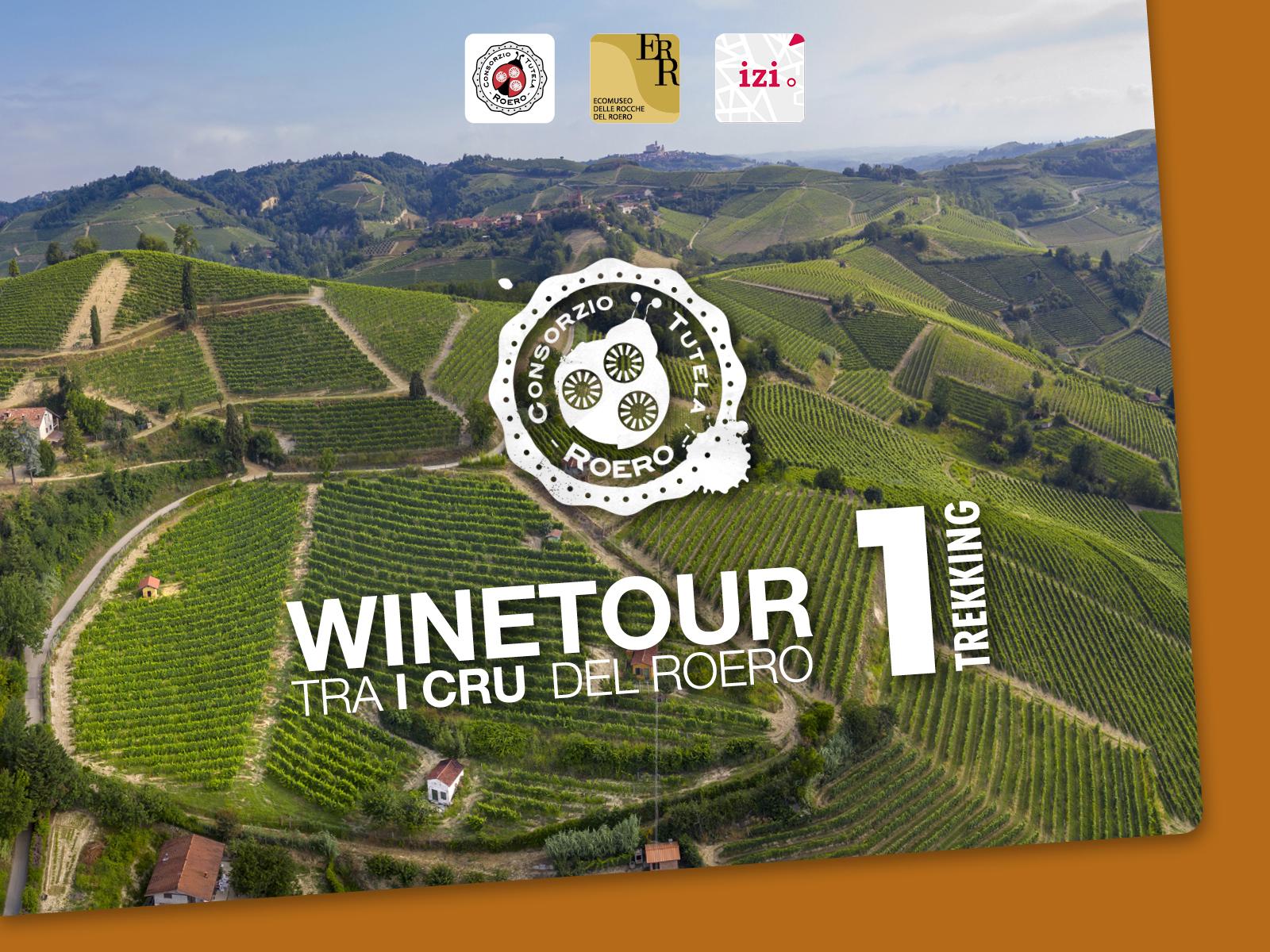
WineTour 1 – The cru where the Arneis wine was born
It is an itinerary that winds entirely through the territory of Canale and crosses a lot of its most famous cru, among which there is the Renesio cru, such as an ancient toponym from which the folksy term “Arneis” was originated, that then meant to indicate the Arneis DOCG’s vineyards and wine.
The Path is NOT marked out: it is recommended to use the GPX track or the audio guide with integrated geolocated map, available on the Izi.Travel smartphone app, freely downloadable on your mobile phone: https://izi.travel/it/24fd-roero-winetour-1-short-ring-for-hiking/en
ITINERARY
Going up from the residential area of Canale and from its medieval civic tower towards the Cappuccini’s convent, walkers come across the Renesio cru, which is the cradle of the Roero Arneis and to which are related its own declinations: Renesio Montorone, Renesio Valbellina and Renesio Incisa. Following this path, walkers get to the Granmadre, which has its homonymous rural chapel, to then enter the Loreto cru, next to the small village called “Madonna di Loreto”, which consists of a bunch of houses that are overlooked by the homonymous church built at the end of the fifteenth century. Once here, they go through the Curiano and Mompellini crus, to then come down through the Mompissano , Oesio and San Vittore crus, on which the homonymous parish church rises, the last remain of the original village of Canale. The ring path, at the Mompissano cru’s hight, can be extended to the Canale’s vineyards that are part of the san Defendente, Rabini and Montorino crus and border in direction of San Damiano d’Asti’s castle, to close-up the ring path back in Canale. The soil is the typical one of the Roero territory, which is characterized by the so-called “sabbie d’Asti” (Asti’s sand) in which the percentage of clay and silt are less than the one of the sand, which can reach percentages close to 50-60%. This composition makes the ground way lighter, waterproof and very oxygenated: that’s why the wines produced in this area are very well structured and full of flavors. These fields are positioned as if they would form a sort of amphitheater fully immersed in vineyards, which are exposed facing the south (with clear air excursions blowing towards the south-east and even more towards the south-west), with a great contribution from the solar radiation.
WARNINGS
The Path is NOT marked out: it is recommended to use the map, the GPX track or the audio guide with integrated geolocated map, available on the Izi.Travel smartphone app, freely downloadable on your mobile phone: https://izi.travel/it/24fd-roero-winetour-1-short-ring-for-hiking/en
Some sections of the path can be challenging and technical for use by mountain bike by people with little familiarity with the vehicle.
We recommend to provide you the map of the trail you are going to walk, to equip you with hiking shoes suitable for dirt and, eventually, with trekking poles. In spring/summer is better to have water with you and some energizing food.
Please consult meteorological websites before leaving, and contact the Ecomuseum office or visite our website to verify the trails conditions.
For people allergic to insects bites or pollens is advised to have with you medicinal products to prevent inhalings or bites.
Before leaving, tell someone your destination or the trail you want to walk, in order to simplify first aid assistance in case of necessity.


